 Guernsey
Your TideViews
Guernsey’s coast at every tide
Explore photos of Guernsey’s beaches, bays and coastline at different stages of the tide, or add your own to the map.
NewYour TideViews is brand new and still being built. Have a look around, and we’d love you to start adding your own photos of the coast to help it grow.
38 photos · 21 places along the coast
Tap a pin to open the photo
Guernsey
30 photos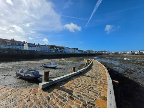 1.7 m · falling
Belle Greve Bay
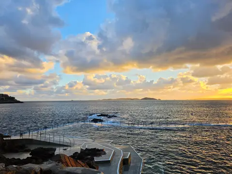 6.9 m · falling
Havelet Bay
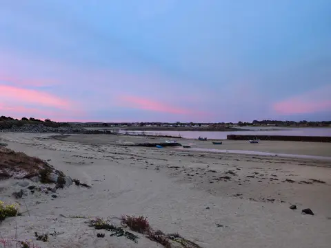 3.9 m · rising
Les Amarreurs
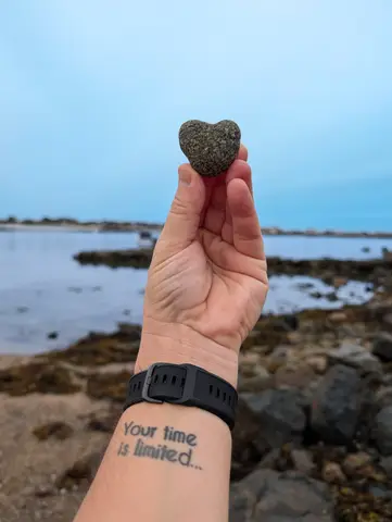 4.3 m · rising
Les Amarreurs
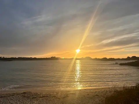 8.8 m · rising
Port Soif
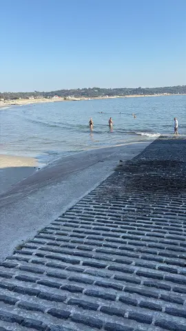 8.3 m · rising
L'Erée
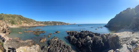 7.5 m · rising
Moulin Huet
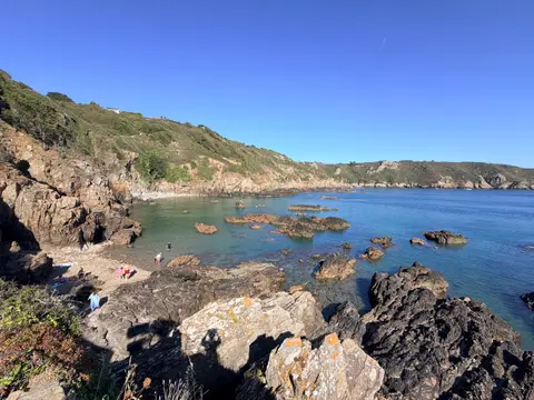 7.4 m · rising
Moulin Huet
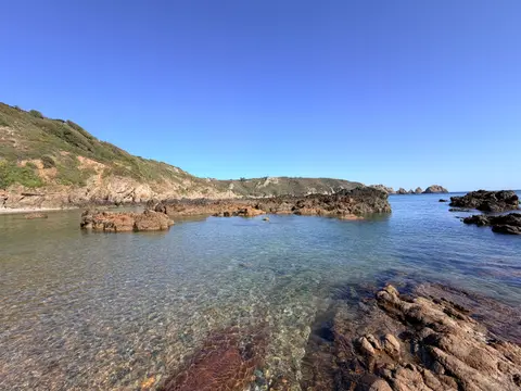 7.1 m · rising
Moulin Huet
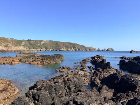 7.1 m · rising
Moulin Huet
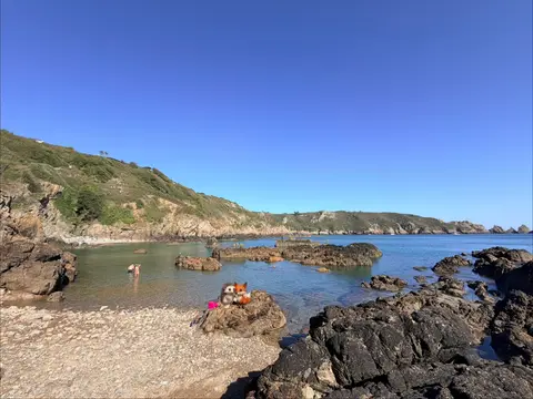 7.3 m · rising
Moulin Huet
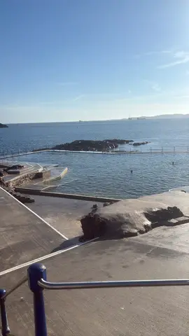 5.3 m · falling
La Vallette Bathing Pools
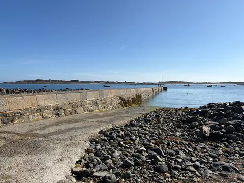 3.9 m · falling
Rousse
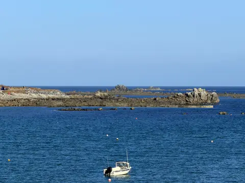 4.6 m · falling
Rousse
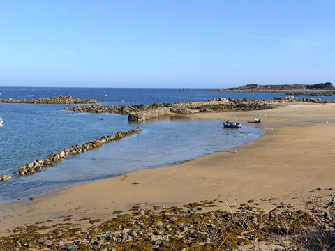 4.9 m · falling
Les Amarreurs
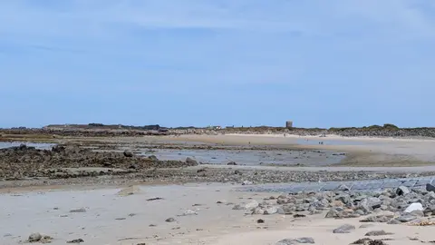 3.2 m · falling
Port Grat
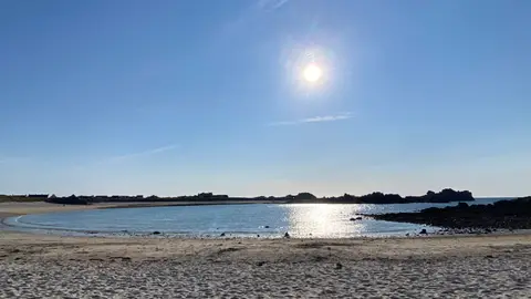 6.4 m · rising
Port Soif
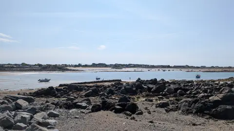 2.3 m · rising
Les Amarreurs
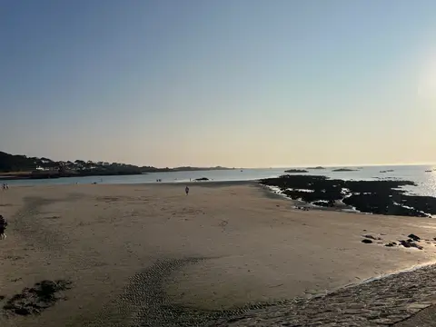 5.3 m · rising
Cobo Bay
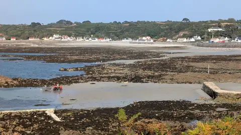 1.8 m · rising
Portelet Harbour
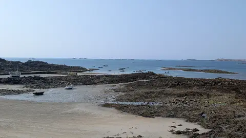 1.4 m · rising
Portelet Harbour
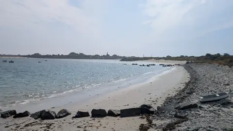 8.3 m · falling
Rousse
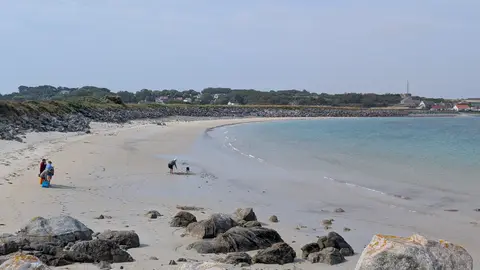 8.4 m · falling
Port Grat
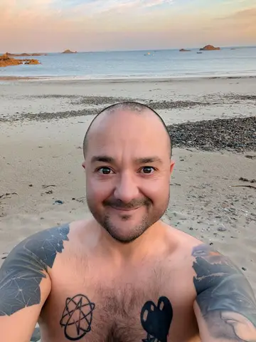 5.3 m · rising
Grandes Rocques
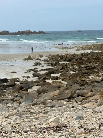 1.7 m · rising
Pembroke & L’Ancresse
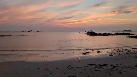 7.9 m · falling
Cobo Bay
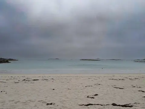 5.6 m · falling
Cobo Bay
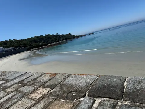 mid tide (approx)
Rocquaine Bay
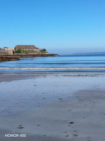 low water (approx)
Havelet Bay
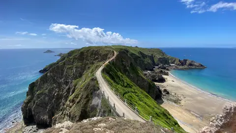 mid tide (approx)
Grande Grève
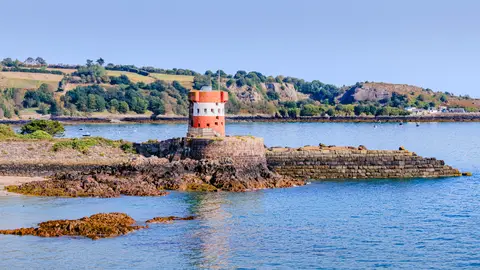
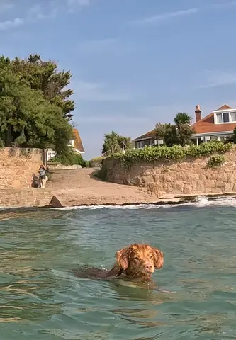
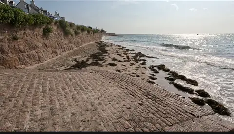
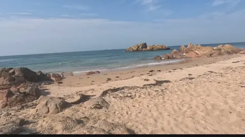
Jersey
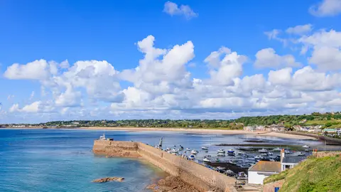
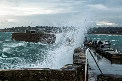
7 photos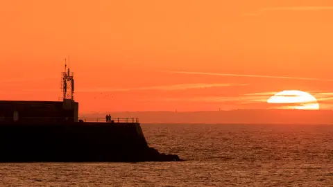
Alderney
1 photo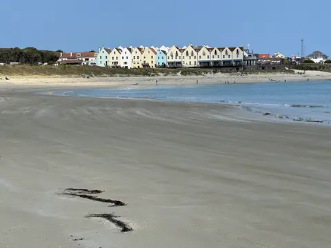
How it works
Step 1
Add a coastal photo
Pick one from your phone or camera.
Step 2
Mark where and when
Drop a pin on the map. We read the date from the photo where we can, and you can adjust it.
Step 3
See it at that tide
For recent photos we work out the tide from the predictions. For older ones, you tell us roughly. We email you a link to confirm, then it is on the map.
- Confirm by email, then it is live
- Report anything that looks wrong
- Your photo stays yours