 Guernsey Tides
Guernsey tide times · St Peter Port · 15 September
Sun & moon
The week ahead
Every high and low water for the next seven days.
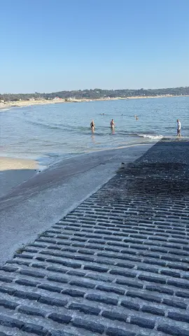
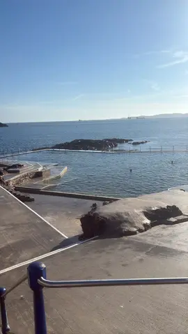
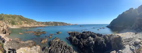
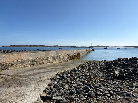
See Guernsey’s coast through the changing tide
Community photos of Guernsey’s beaches, bays and coastline at different stages of the tide, showing how each place changes as the water comes and goes.
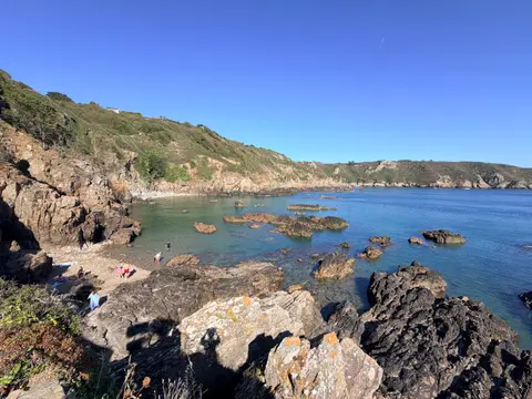
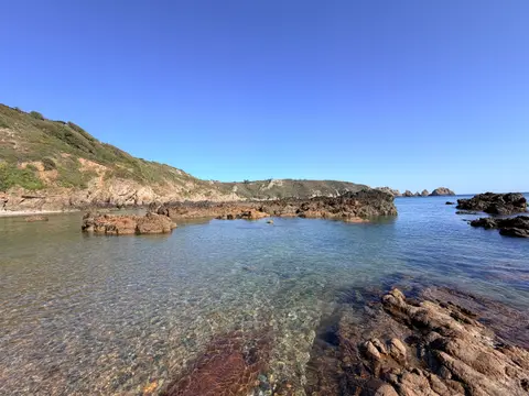
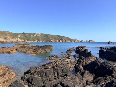
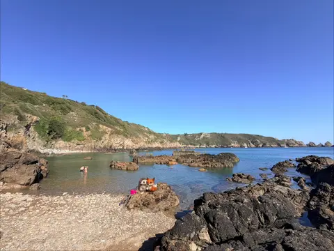
Today’s tides in your feed, every morning
Follow Guernsey Tide Times on Facebook and the day’s high and low water land in your feed each morning, ready before you head out. No app to install, nothing to check.
Lihou Island causeway
The stone causeway to Lihou floods and clears with the tide. Cross only when it is open, and leave yourself time to get back.
Around the coast today Beta
Based on predicted tide level at St Peter Port. Wind, swell and local conditions can still make a spot unsuitable.
Beta feature. These pool and slip windows are new and still being fine-tuned. If a time looks wrong for a spot you know well, please get in touch.
Times are approximate; allow extra time near the start and end of each window. This is not a sea-safety assessment.
Good right now
Picks from this moment's tide, wind and light, updated live.
A preference from tide, wind and daylight only, not a safety verdict. It does not account for swell, currents, water quality or hazards. Judge the day for yourself, and read the sea safety guide.
Guernsey’s beaches and bays
Guernsey’s coastline can look completely different at high and low water. Find the best time to visit each beach and bay.
Add Guernsey tide times to your website
Run a café, guesthouse, local business or blog? Add a free tide card showing today’s Guernsey tide times, weather and sea temperature. It updates automatically, so the information is always current.