Belle Greve is a large rocky bay on Guernsey’s east coast between St Peter Port and St Sampson. Easily reached from the coast road, it offers an urban shoreline that changes dramatically with the tide, revealing a broad expanse of rocks, shingle and patches of sand.
These predictions use St Peter Port, Guernsey’s standard reference port. Local timing and conditions at Belle Greve Bay can vary slightly with weather and coastal geography. Times are shown in local Guernsey time.
Belle Greve is a large, east-facing bay immediately north of St Peter Port, extending along the coast towards St Sampson. Unlike Guernsey’s better-known sandy beaches, much of its shoreline consists of rocks, stones and shingle, with patches of sand and other intertidal ground appearing as the tide falls.
The bay has a more urban character than Guernsey’s rural and cliff-backed beaches. The coast road follows much of the shoreline, with homes, businesses and the Admiral Park area close behind it. Parking is available at Salerie Corner and at various points along the bay, while public toilets are available at Halfway and nearby at North Beach.
Belle Greve has long been one of Guernsey’s best-known shore fishing locations and is popular with anglers throughout the year. At lower water, the exposed shoreline also provides plenty of opportunity for walking and exploring, although the surface can be rocky, uneven and slippery in places.
Facing east across the Little Russel towards Herm, Jethou and Sark, the bay is a good place to watch the ferries coming and going from St Peter Port, and early mornings draw walkers and anglers as the sun comes up over the water.
There is no lifeguard.
Belle Greve changes considerably with the tide. At lower water, the sea retreats across a broad rocky and shingly shore, exposing stones, patches of sand and low areas between the rocks. At higher water, much of the shore is covered and the sea moves closer to the sea wall and coastal access points.
Lower tide gives more space to explore the shoreline, but the exposed ground can be slippery and uneven. Wet rocks, loose stones and shallow channels may make walking more difficult than the beach first appears.
As the tide rises, water can move around rocks and into lower parts of the shore before the wider area is covered. Keep an eye on the direction of the tide and allow enough time to return to an access point.
Being an east-facing bay, Belle Greve can become exposed during strong easterly winds, particularly around high water when waves and spray may reach the sea wall. Check conditions before exploring close to the shoreline.
No community photos of Belle Greve Bay yet. Be the first to add one and help build a picture of the beach at every state of the tide.
Add your photoOther bays and beaches close to Belle Greve Bay.
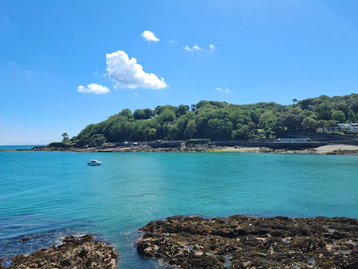 Town
Town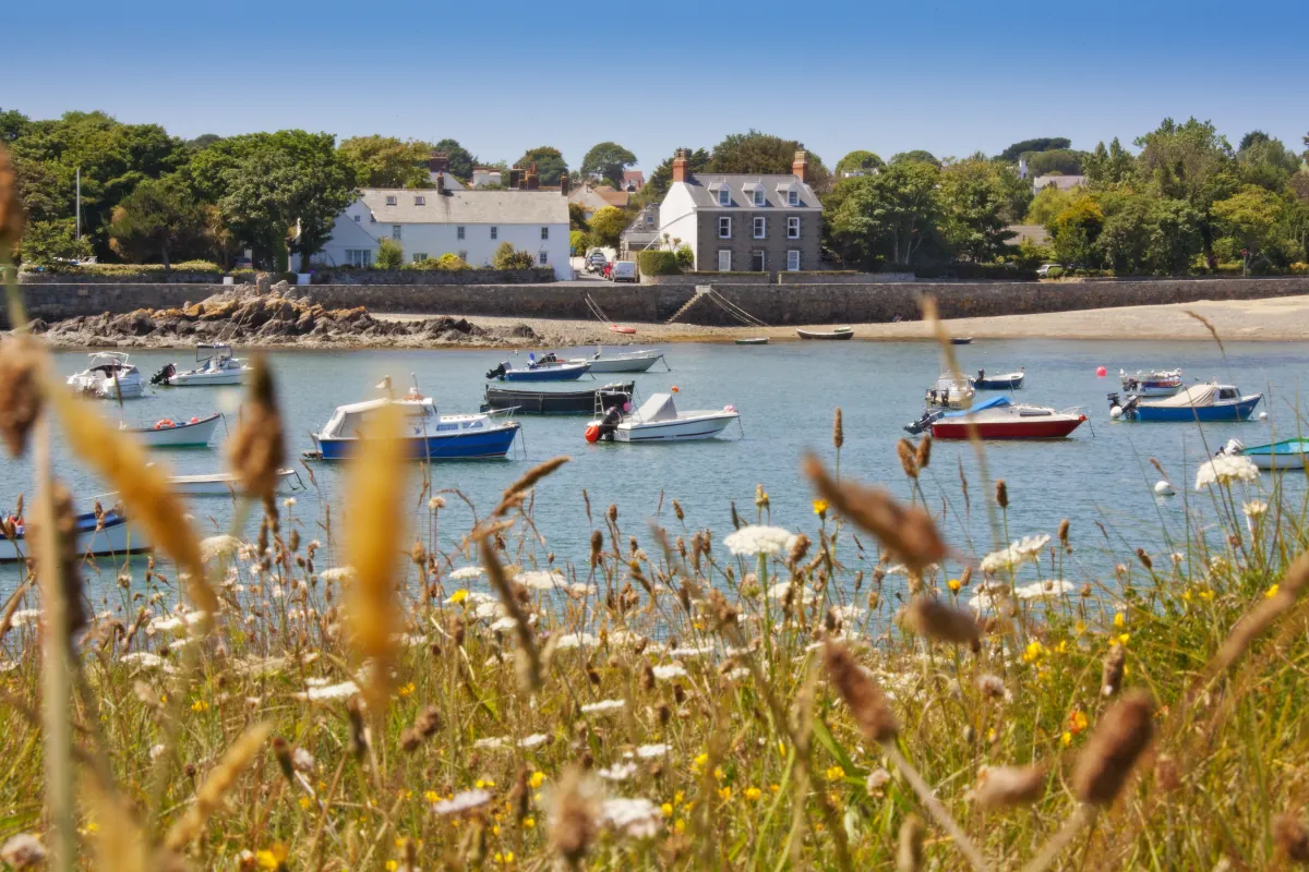 North-east
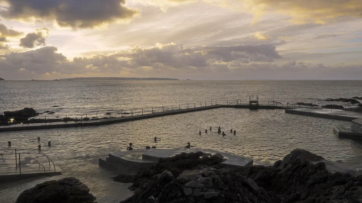 Town
TownTides. Tide predictions are forecasts. Actual sea level is affected by atmospheric pressure, wind and waves. Always observe the sea and your surroundings.
Swimming. Sea swimming carries risks: currents, waves, rocks, submerged structures, boats and cold water. This page is for planning and does not confirm conditions are safe. Do not assume the beach is lifeguarded.
Facilities. Facilities and café opening hours change seasonally. Check directly before making a journey specifically to use them.
 Guernsey