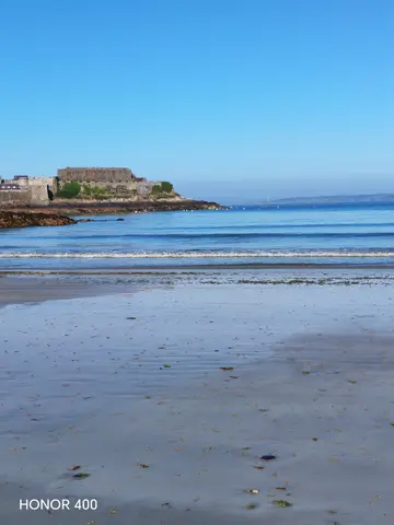
A town-side bay with views to Castle Cornet, Herm and Sark, changing dramatically from broad low-tide sands and rock pools to water against the sea wall.
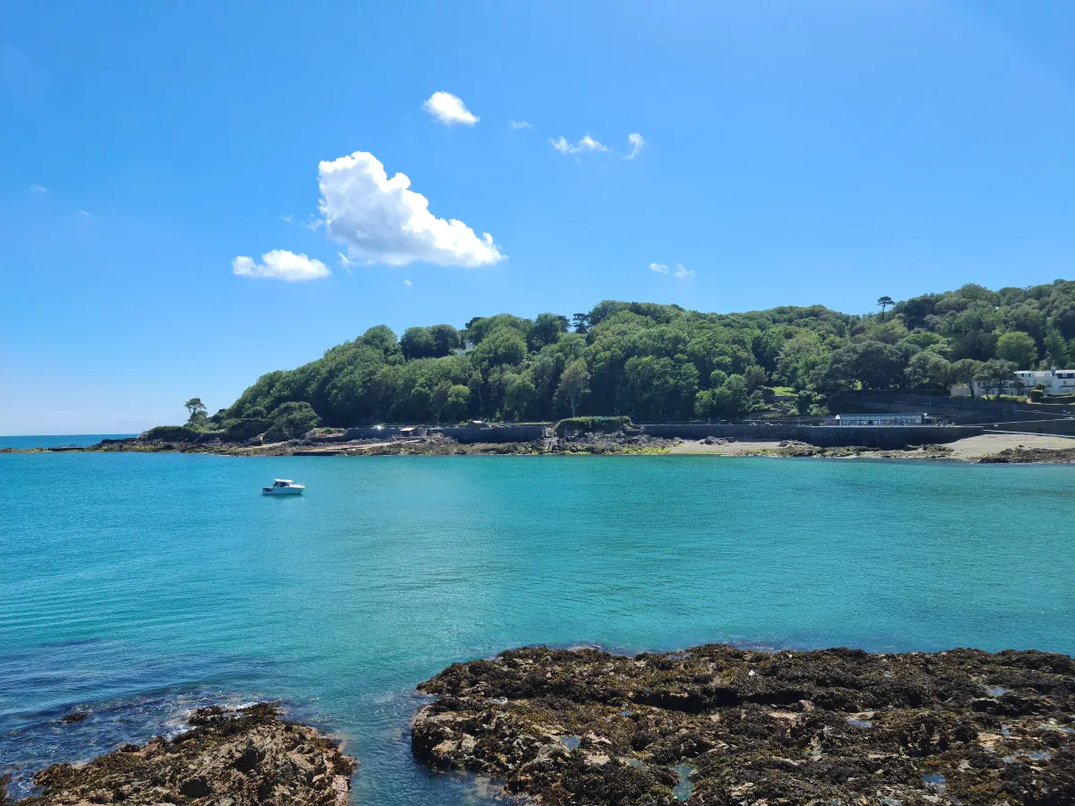
These predictions use St Peter Port, Guernsey’s standard reference port. Local timing and conditions at Havelet Bay can vary slightly with weather and coastal geography. Times are shown in local Guernsey time.
Beta feature. These pier, slip and pool swim windows are new and still being fine-tuned from predicted tide levels — this is not a sea-safety assessment. If a time looks wrong for a spot you know well, please get in touch.
Havelet lies immediately south of St Peter Port harbour, between Castle Cornet and La Vallette. At low water, broad areas of sand, rocky foreshore and rock pools are exposed. As the tide rises, the beach narrows rapidly and water may reach the sea wall.
Several steep slips from South Esplanade and La Vallette serve different parts of the bay, and not every slip connects directly with every section of beach. The northern section includes sand, rocks and pebbles, while the southern section is principally steep, uneven rock and large pebbles. Havelet is convenient for sea swimming close to Town, but swimmers should remain alert to small craft, slippery access points, submerged rocks and fixed structures. Havelet itself has no dedicated beach toilets; toilets, changing facilities and a café are available nearby at La Vallette Bathing Pools, which is a separate destination.
At low water, Havelet opens into broad areas of sand, rocky foreshore and rock pools. As the tide rises, the sandy area becomes much smaller and rocks, streams and fixed structures may become covered. At higher water the sea is closer to the slips, but this does not confirm safe depth for jumping or diving. Check the individual access point, watch for wet cobbles, seaweed and uneven surfaces, and make sure you can leave the water safely.
Other bays and beaches close to Havelet Bay.
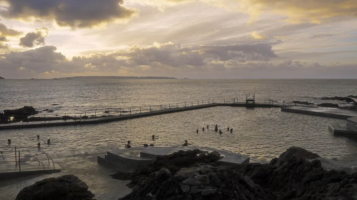 Town
Town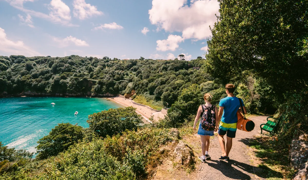 East
East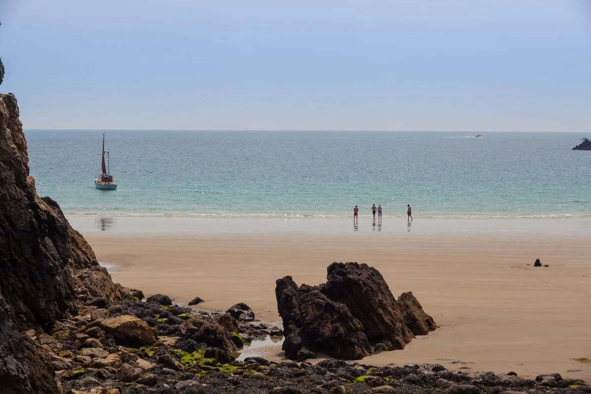 South
SouthTides. Tide predictions are forecasts. Actual sea level is affected by atmospheric pressure, wind and waves. Always observe the sea and your surroundings.
Swimming. Sea swimming carries risks: currents, waves, rocks, submerged structures, boats and cold water. This page is for planning and does not confirm conditions are safe. Do not assume the beach is lifeguarded.
Facilities. Facilities and café opening hours change seasonally. Check directly before making a journey specifically to use them.
 Guernsey