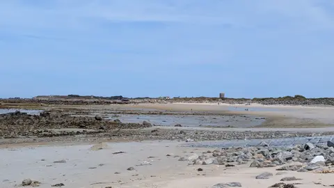
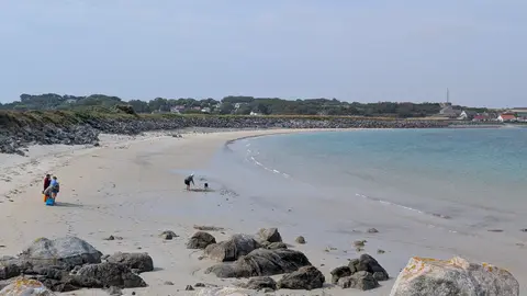
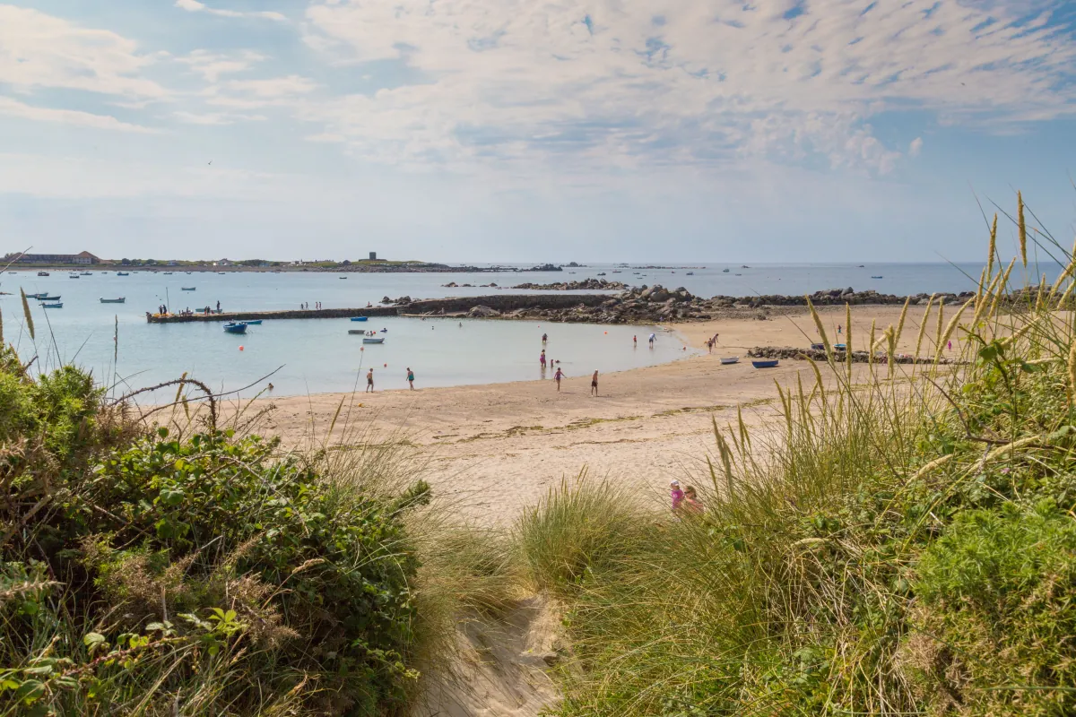
A quiet horseshoe-shaped sandy bay between Port Soif and Rousse, with rocky areas and pools exposed at lower water.
These predictions use St Peter Port, Guernsey’s standard reference port. Local timing and conditions at Port Grat can vary slightly with weather and coastal geography. Times are shown in local Guernsey time.
Beta feature. These pier, slip and pool swim windows are new and still being fine-tuned from predicted tide levels — this is not a sea-safety assessment. If a time looks wrong for a spot you know well, please get in touch.
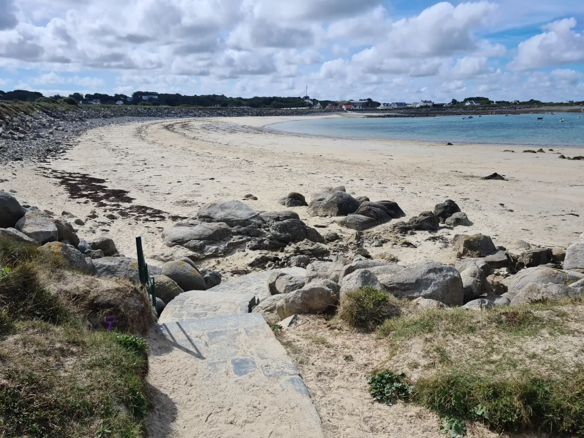
Port Grat is a quiet horseshoe-shaped bay between Port Soif and Rousse. Its pale sandy beach is framed by rocky outcrops, with more rocks and pools revealed as the tide falls. Its curved shape gives the bay a more sheltered feel than Guernsey’s broad, open west-coast beaches, although wind and waves can still affect conditions.
Swimming is possible at a range of tide states: higher water brings the sea closer to the beach access, while at lower water there is a longer walk across the sand. There are no main visitor facilities directly at Port Grat. The nearest public toilets and seasonal refreshments are at Rousse Kiosk, reached by following the coastal route around the headland. A coastal walking route runs from Rousse through Port Grat and continues towards Port Soif and Grandes Rocques; parts are uneven and include slopes, so it is not a continuous level promenade.
At lower water, more sand, rocks and pools are exposed and the sea is farther from the beach access. As the tide rises, some rocks become submerged and the usable sandy area narrows. Keep track of the returning water when exploring the rocky margins. Routes over rocks can become wet or submerged, and local waves and weather matter as much as the predicted tide time.
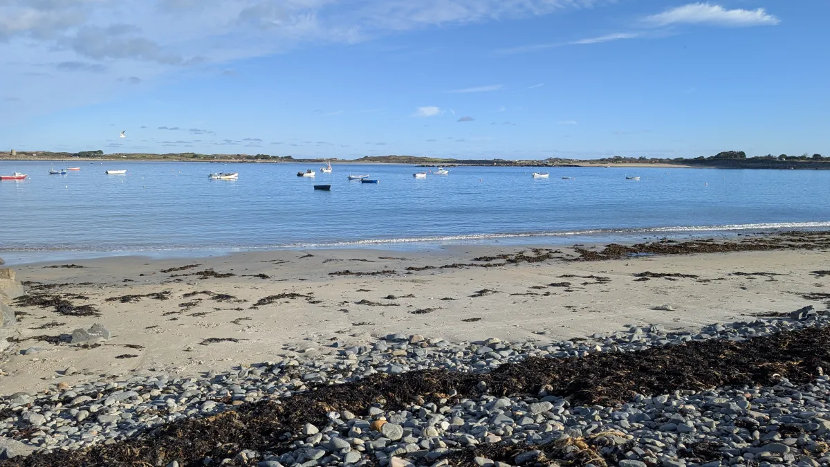
Other bays and beaches close to Port Grat.
 North-west
 North
North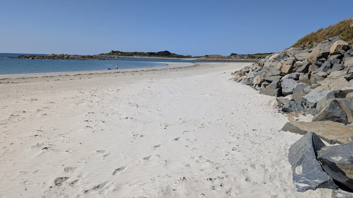 North
NorthTides. Tide predictions are forecasts. Actual sea level is affected by atmospheric pressure, wind and waves. Always observe the sea and your surroundings.
Swimming. Sea swimming carries risks: currents, waves, rocks, submerged structures, boats and cold water. This page is for planning and does not confirm conditions are safe. Do not assume the beach is lifeguarded.
Facilities. Facilities and café opening hours change seasonally. Check directly before making a journey specifically to use them.
 Guernsey