A high, car-free island of cliffs, quiet lanes and dark skies between Guernsey and Jersey, where many of the best bays and caves are reached on foot and revealed only by the tide.
4-minute guide
Today, Thursday 8 October
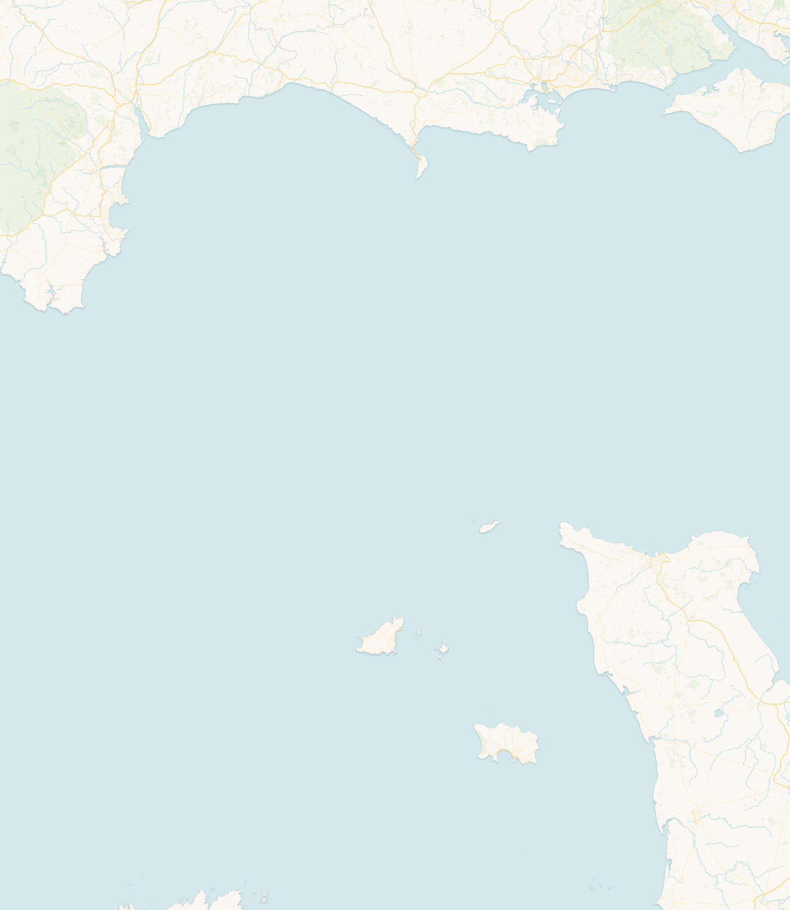
Sark rises steeply from the sea between Guernsey and Jersey, part of the Bailiwick of Guernsey but with its own parliament, Chief Pleas. It is made up of two linked parts, Sark and Little Sark, joined by the dramatic isthmus of La Coupée, with the private island of Brecqhou just off its west coast. Visitors arrive by boat at Maseline or Creux harbour and climb up to the plateau where island life goes on.
Sark makes most sense read vertically. On top is a plateau of fields, lanes and footpaths where people live and travel, famously without private cars and without street lighting. From that plateau, steep valleys and cliff paths drop to a shoreline of small beaches, rocky creeks and sea caves far below. Knowing the tide is part of understanding the island itself, because so much of the coast is only reachable, or only safe, at the right state of the water.
Sark’s cliffs create very different conditions from Jersey’s wide beaches. Below the plateau lie small beaches, rocky creeks and sea caves, many reached by steep paths or steps and shaped by the state of the tide.
A tide table alone does not make a cave or a remote bay safe. Access depends on swell, weather, daylight, knowing the route and having a safe way back up. Leave a generous margin, and where you can, go with someone who knows the coast.
Sark’s most memorable coastal places lie below the high plateau, reached by steep paths or revealed only by the tide. They are best approached as individual locations rather than as ordinary beaches.
Venus Pool is a natural sea pool beneath the cliffs of Little Sark, covered by the sea for much of the tidal cycle and generally revealed around low water. Sark’s official visitor information describes it as appearing for roughly two hours either side of low tide, and reaching it involves a scramble over uneven rock. That is a broad description, not a guaranteed window: the state of the sea matters as much as the predicted tide, so allow plenty of time to get back and stay away when swell is washing across the rocks.
Official guidance: Isle of Sark: beach guide
On the Gouliot headland, on the west coast, an extensive system of sea caves and passages holds walls rich in sponges, anemones and other marine life. The headland and caves were recognised as a Ramsar wetland of international importance in 2007. The caves are reachable on foot only around the lowest spring tides, and the descent is a clamber over loose, slippery rock near cliff edges, so going with someone who understands the tides is strongly recommended.
Official guidance: Channel Islands Ramsar: Gouliot Caves code of conduct
Dixcart and Grande Grève are among the better-known bays, while Derrible and Port à la Jument feel more remote. Reaching many of them involves steep paths or long flights of steps, and the amount of usable shore changes greatly through the tide.
La Coupée is the narrow isthmus that joins Sark to Little Sark, with the sea falling away steeply on both sides and long views over Grande Grève. Steep steps drop from it to the beach on one side, and crossing it leads on to Little Sark and the paths towards places like Venus Pool. The protective railings and the concrete roadway that crosses it were built in 1945, and it remains the most striking single place on the island.
With no private cars and no street lighting, Sark keeps a night environment that few inhabited places still have, and it has been recognised as a Dark Sky Island. On a clear, moonless night the stars are exceptional. The Moon is the main driver of the tides, though its visible phase alone does not give the exact local tide time; around new and full moon the pull of the Moon and Sun combines to produce the larger spring tides. After dark, carry a torch and take care on unlit lanes, cliff paths and steps.
Sark’s history runs from early and monastic associations through its resettlement in 1565, when Helier de Carteret established the island under Elizabeth I, dividing it into the landholdings that still shape it today. Its distinctive government has been reformed in modern times towards a fully elected parliament. Like its neighbours, Sark lived through the German Occupation of 1940–1945.
No private cars are allowed. People get around on foot, by bicycle, or by tractor and horse-drawn carriage.
No. Sark is part of the Bailiwick of Guernsey, a British Crown Dependency, and has its own parliament, Chief Pleas.
About 5.5 square kilometres (2 square miles), made up of Sark and Little Sark joined by the isthmus of La Coupée.
La Coupée is the narrow isthmus linking Sark and Little Sark, with steep drops to the sea on both sides and a railed roadway built in 1945.
It has no street lighting and very little artificial light, and was recognised as a Dark Sky Island, which makes it one of the best places to see the night sky.
Swimming is possible at several bays, such as Dixcart and Grande Grève, in suitable conditions, but access is often steep and conditions vary greatly with tide, swell and weather. Check the tide, weather and sea state, and allow time to get back up.
This guide draws on information from official island authorities, local heritage and environmental organisations, and recognised coastal and hydrographic sources.
Last reviewed: July 2026. Geographic, historical and coastal information has been checked against official and authoritative local sources. Tide predictions remain forecasts, and local conditions can vary.
Check today’s high and low waters before heading to the shore, or open the full Sark tide table.
 Guernsey