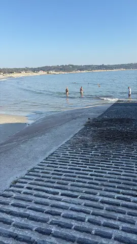
A broad west-coast sandy beach with rock pools, beside the mainland end of the low-tide causeway to Lihou Island.
These predictions use St Peter Port, Guernsey’s standard reference port. Local timing and conditions at L'Erée can vary slightly with weather and coastal geography. Times are shown in local Guernsey time.
Only cross during the official States of Guernsey opening times. The causeway is approximately 760 metres long and takes at least 20 minutes to cross. Leave Lihou at least 20 minutes before the published closing time. Opening and closing can vary by up to 20 minutes because of weather and sea conditions.
Never cross if any section is submerged, and do not cross at night. The stone surface is wet and uneven, so sturdy footwear is recommended. There are no public toilets on Lihou; the nearest are at the L’Erée car park. Dogs are prohibited on the causeway and island throughout the year. The ordinary beach tide table must not be used to decide whether the causeway is open.
L’Erée is a broad sandy beach on Guernsey’s west coast, backed by the coast road, parking areas, a promenade and public toilets. Its relatively sheltered position makes it popular for swimming and snorkelling when conditions are suitable, while rocks and pools are exposed as the tide falls.
The stone causeway to Lihou begins from the adjoining headland. It is exposed only during specific official opening windows and must not be treated as an ordinary low-tide beach walk. The main beach access is by a steep concrete slip with cobbled and uneven sections, with additional stepped entrances from the promenade, so the natural beach is not independently wheelchair-accessible. Le Creux ès Faies, a prehistoric passage grave, stands on the headland north of the bay.
At lower water, L’Erée widens substantially and more sand, rocks and pools are exposed. As the tide rises, the available beach narrows and rocks become partly or fully submerged. The ordinary beach tide table must not be used to decide whether the Lihou causeway is open: always use the separately published official crossing times and their safety margins.
Other bays and beaches close to L'Erée.
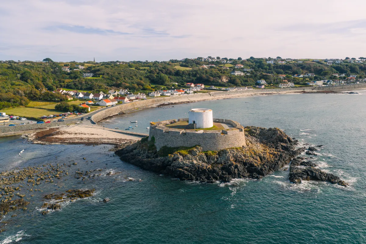 South-west
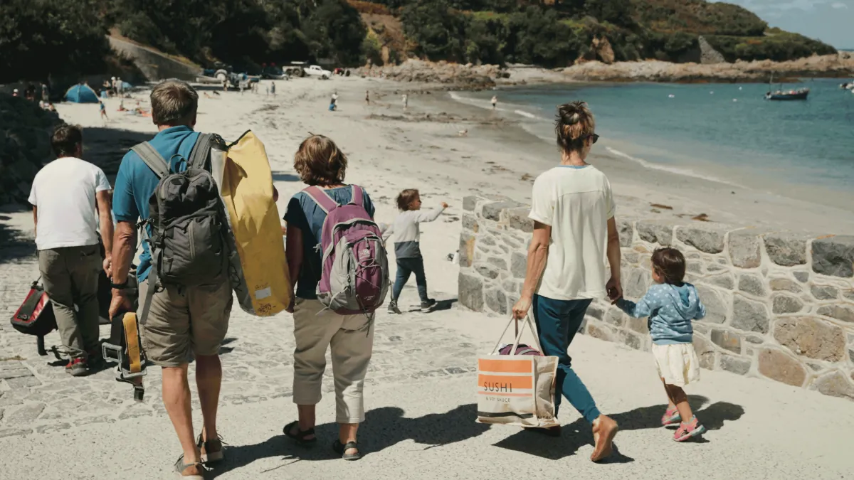 South-west
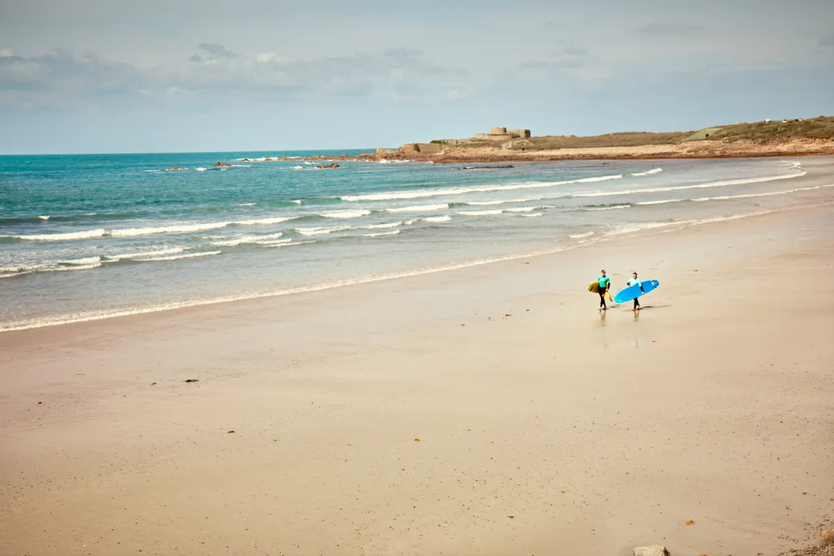 West
West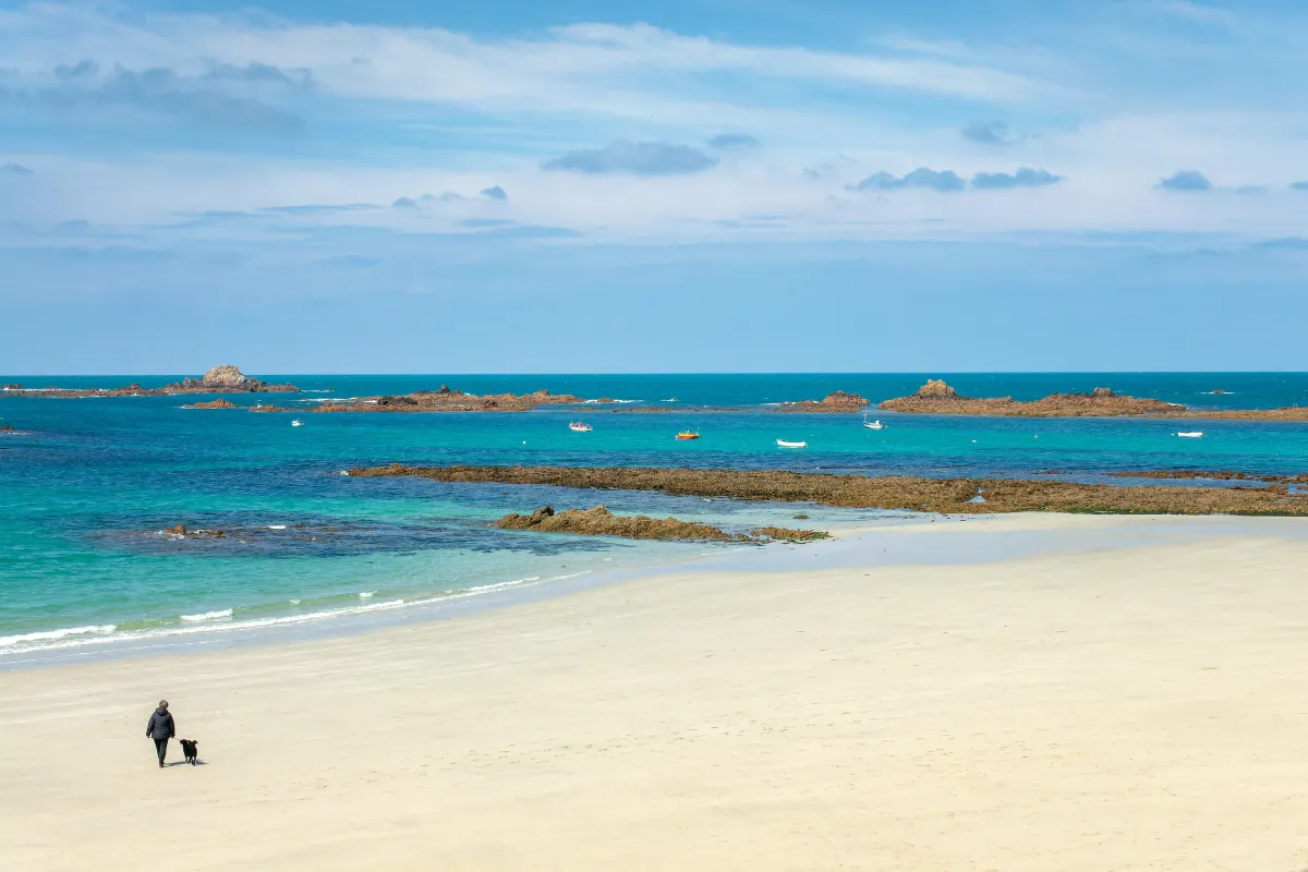 West
WestTides. Tide predictions are forecasts. Actual sea level is affected by atmospheric pressure, wind and waves. Always observe the sea and your surroundings.
Swimming. Sea swimming carries risks: currents, waves, rocks, submerged structures, boats and cold water. This page is for planning and does not confirm conditions are safe. Do not assume the beach is lifeguarded.
Facilities. Facilities and café opening hours change seasonally. Check directly before making a journey specifically to use them.
 Guernsey