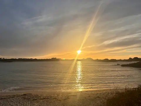
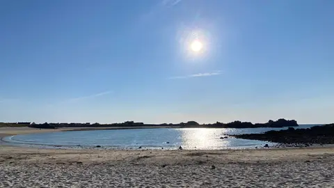
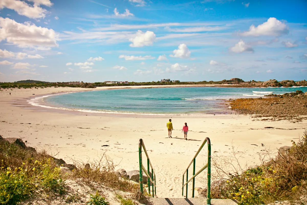
A horseshoe-shaped sandy bay backed by dunes, with a more sheltered feel than Guernsey’s broad, open west-coast beaches.
These predictions use St Peter Port, Guernsey’s standard reference port. Local timing and conditions at Port Soif can vary slightly with weather and coastal geography. Times are shown in local Guernsey time.
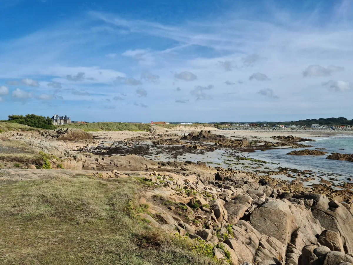
Port Soif is smaller and more enclosed than Vazon or Cobo. Sand dunes back the beach and granite outcrops frame the bay, giving it a more sheltered feel. It is popular with families and swimmers when conditions are suitable.
Swimming is generally more convenient around higher water, when the sea is closer to the main beach access. Surfside beach café and tea garden sits above the bay, with toilet facilities nearby. The main route onto the beach includes steps, so the sand is not step-free. The nearby Port Soif Nature Trail is flat and was designed with disabled visitors in mind, but it does not provide step-free access onto the beach.
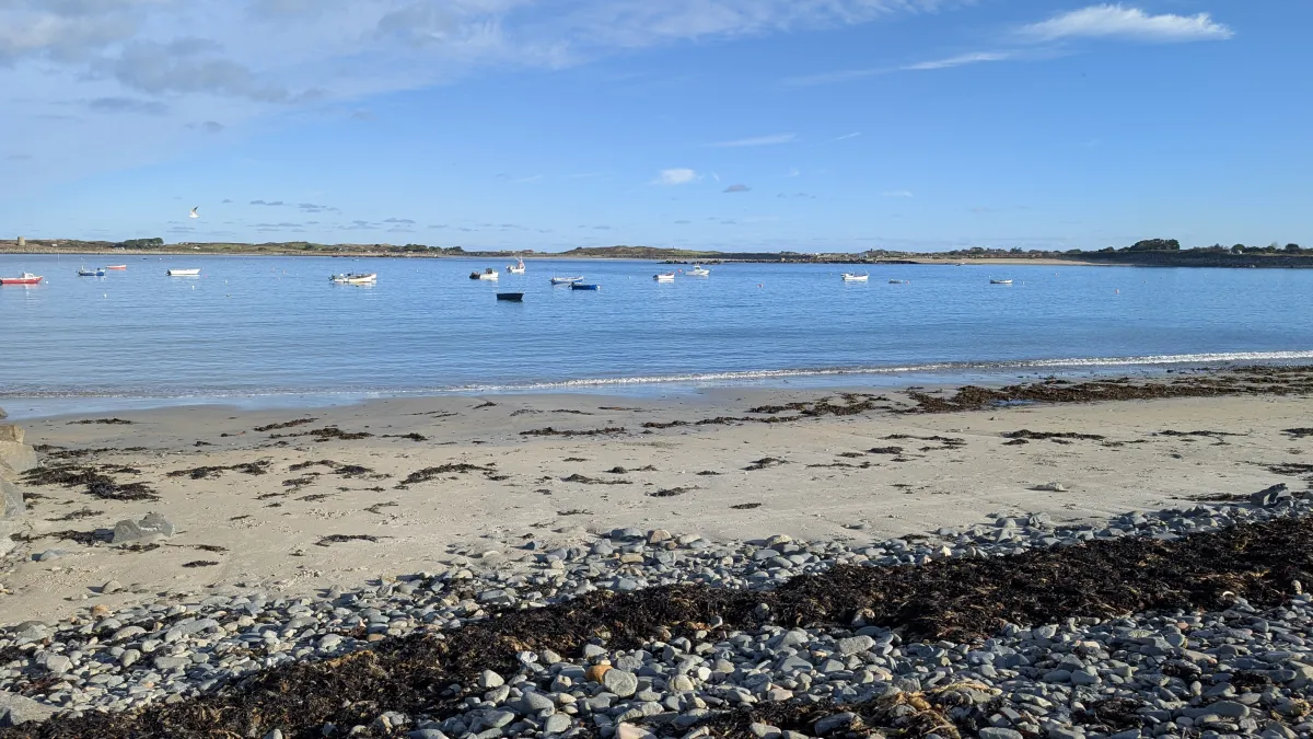
At lower water the sea retreats a considerable distance across the sand, so there can be a long walk from the beach entrance to the water. At higher water the sea is much closer to the access and the bay is particularly popular for swimming. Port Soif is generally more sheltered than nearby open west-coast beaches, but westerly wind and swell can still produce waves through the mouth of the bay. Rocks around the edges may be exposed or submerged at different states of tide. Check conditions and your exit point before entering.
Other bays and beaches close to Port Soif.
 West
West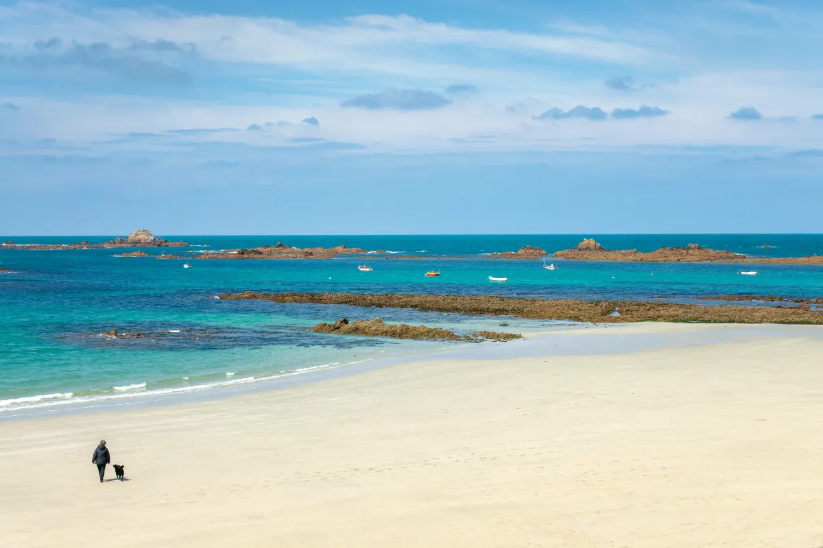 West
West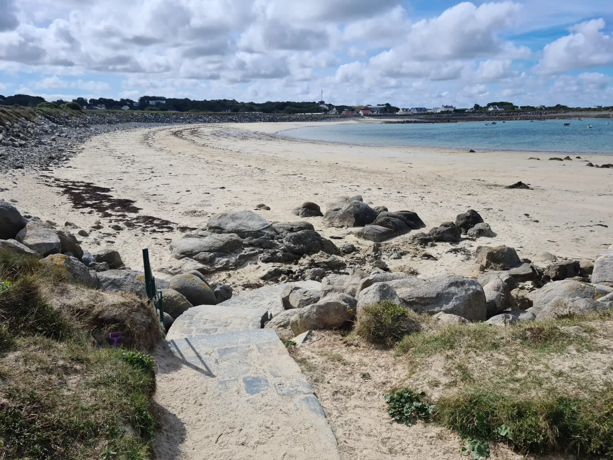 North-west
 North-west
Tides. Tide predictions are forecasts. Actual sea level is affected by atmospheric pressure, wind and waves. Always observe the sea and your surroundings.
Swimming. Sea swimming carries risks: currents, waves, rocks, submerged structures, boats and cold water. This page is for planning and does not confirm conditions are safe. Do not assume the beach is lifeguarded.
Facilities. Facilities and café opening hours change seasonally. Check directly before making a journey specifically to use them.
 Guernsey